Where the Nooksack floods
Whatcom County's flood problem is mostly one river. Of the county's 1,211 federal flood insurance claims, 59% come from three small towns in the Nooksack lowlands. Here is the record, from federal river gauges and flood insurance data.
On this page
How a Nooksack flood happens
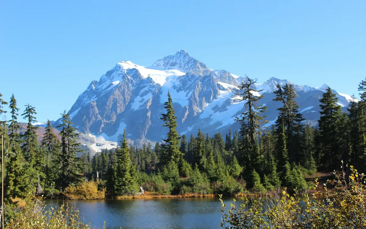
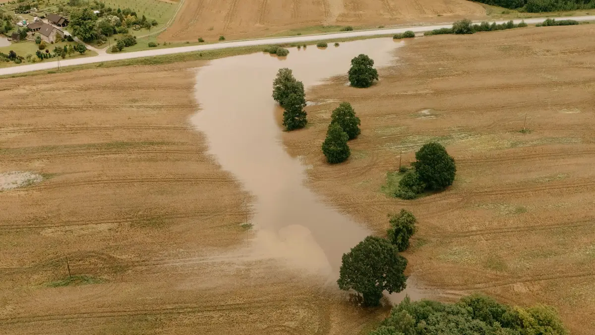
The river drains Mount Baker and the North Cascades. The big floods come in late fall and winter, when an atmospheric river brings warm, heavy rain that falls on snow up high. Of the 77 annual peaks on record at Ferndale, 62 came between October and January. Near Everson the river can spill north over low ground toward Sumas and into Canada's Sumas Prairie, which is what happened in November 2021.
Highest flow each water year, Nooksack River at Ferndale (cubic feet per second)
The biggest floods at Ferndale
The two largest peak flows in the USGS record came 31 years apart. November 10, 1990 brought 57,000 cubic feet per second. November 16, 2021 brought 56,300. In 2021 the gauge reached 23.89 feet, above the National Weather Service major flood stage of 23 feet. The typical annual peak over 1991 to 2020 was about 22,200 cubic feet per second, so 2021 carried more than twice a normal year's high water.
December 2025 was the next one. USGS provisional data show a daily mean flow of 34,200 cubic feet per second on December 11, 2025; the instantaneous peak for the event isn't in the published record yet. Nine homes in Ferndale near VanderYacht Park took on water, about 150 homes in the city of Nooksack saw flood impacts, and 412 Sumas households had asked for recovery help by December 18 (Cascadia Daily News).
Flood claims by ZIP code
Federal flood insurance claims show where the water reaches houses. Sumas (98295) leads with 348 claims on record, then Everson (98247) with 294 and Ferndale (98248) with 166. Most of Bellingham proper has very few: the south and central ZIP, 98225, has 18. Two months account for most of the county's flood payments: November 2021 (326 claims, $22.5 million paid) and December 2025 (297 claims, $21.6 million paid so far).
If you live in the valley
- Know the gauge. The NWS flood categories at Ferndale are action 15 feet, minor 18, moderate 20.5 and major 23.
- Buy flood insurance before the season, not during a forecast: NFIP policies start 30 days after purchase.
- Keep a list and photos of what is in the house, stored somewhere other than the house.
- After the water drops, treat everything it touched as contaminated. Flood cleanup.
Questions Whatcom County homeowners ask
Which Whatcom County towns flood the most?
The Nooksack lowlands. Sumas and Everson have the most federal flood insurance claims by ZIP code, Nooksack is close behind, and Ferndale follows. The same towns took the worst of both the November 2021 and December 2025 floods. Most of Bellingham proper is above the floodplain, so in town the water usually comes from inside.
Does homeowners insurance cover a river flood?
No. The Washington Insurance Commissioner says a typical home policy does not cover flood damage. You need a flood policy, through the NFIP or a private insurer, and an NFIP policy has a 30 days wait.
Is Bellingham itself at risk from the Nooksack?
Most of the city isn't in the Nooksack floodplain; the river runs north of town through Ferndale to Bellingham Bay. Bellingham's water damage comes mostly from leaks and frozen pipes. ZIP 98225 has 18 federal flood claims on record.
Sources
- USGS: Peak streamflow, Nooksack River at Ferndale, WA (12213100)
- USGS Water Data: Nooksack River at Ferndale, WA (12213100), daily values (provisional for water year 2026)
- NOAA National Water Prediction Service: Nooksack River at Ferndale (NKSW1) flood categories
- OpenFEMA: FIMA NFIP Redacted Claims data set (v3)
- OpenFEMA: Disaster Declarations Summaries (v2)
- Cascadia Daily News: What we know so far about flooding damage in Whatcom, Skagit (Charlotte Alden, December 16, 2025, updated December 18, 2025)
- Washington Office of the Insurance Commissioner: Flood insurance (checked October 29, 2026)